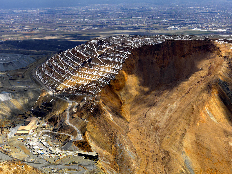
Could our planet Earth be one huge quarry?

"If it looks like a duck, swims like a duck, and quacks like a duck, then it probably is a duck" - we all heard of this so-called "duck test". It suggests that a person can identify an unknown subject by observing that subject's habitual characteristics. For open minded people, the below "habitual characteristics" could become a sanity test as well.

If we take this "duck test" into consideration, than our planet Earth is nothing but one huge giant quarry. A type of quarry where coal, copper, uranium, nickel, gold and other natural resources were mined long (or not so long) time ago. Striking similarities could make an open minded person to, at least, look into the issue.

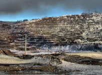
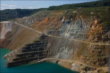
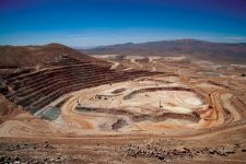
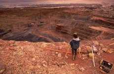
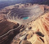
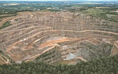
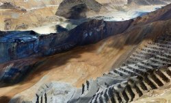
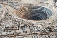
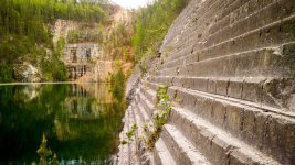
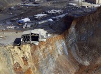
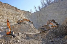
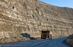
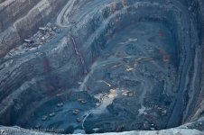
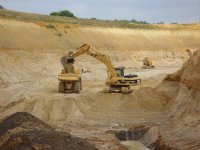
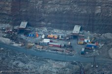
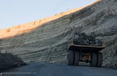
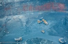
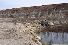
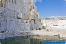
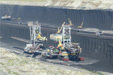
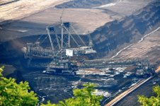
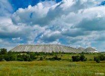
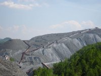
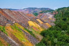
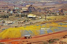
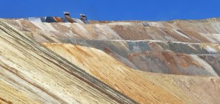
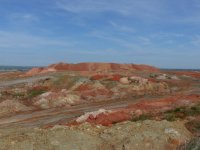
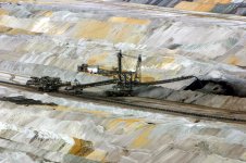
Below we can see the pictures of several quarries. These are the result of our civilization mining in various parts of the world.

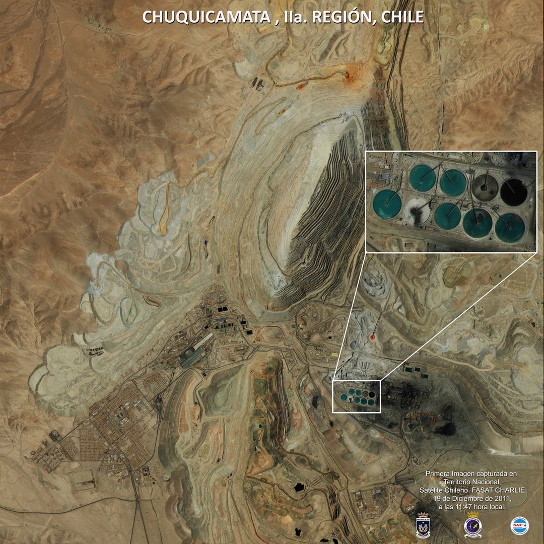
Quarries: Lebedinsky (RU) / Magnet Mount (RU) / Cheremshansky (RU) / Escondida (Chile) / Carlin Trend (US) / Kenecott (US)

1_Lebedinsky_quarry_russia.jpg

2_Magnet_Mountain_Ural.jpg 3_Cheremshansky_Nikel_quarry.jpg 9_Escondida_Chile.jpg 10_Carlin_Trend_USA.jpg 7_Kenecott_Copper_Mine_USA.jpg

Mount Sorrel (UK) / Kenecott (US) / Mirny (RU) / Yekaterinburg (RU)
5_mountsorrel-quarry_UK.jpg 11_Kenecott_USA.jpg 8_Mirny_Diamond_Mine_Russia.jpg 11_ekaterinburg_russia.jpg

Differently Looking Quarries
quarry_1_2.jpg

quarry_1_1.jpg quarry_1.jpg quarry_2.jpg quarry_3.jpg
quarry_5.jpg quarry_6.jpg quarry_7.jpg quarry_8.jpg
quarry_9.jpg quarry_10.jpg quarry_11.jpg

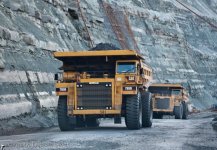
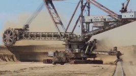
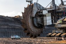
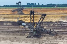
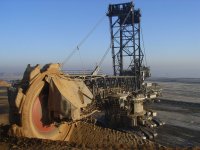
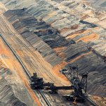
The above quarries are gigantic in size. And the equipment used to produce such drastic terrestrial changes is impressive indeed. This equipment is presented below.

Bucket Wheel Excavators:
Their larger models reach boom lengths of 260 feet (80m), weigh 13,000 tons, and move 12,500 m3/h. The largest BWE ever constructed is TAKRAF's Bagger-293, which weighs 14,200 tonnes and is capable of moving 240,000 cubic metres of overburden every day. Excavations of 497,000 cubiic yards (380,000 cubic metres) per day have been recorded.


Coincidentally there are some artifacts resembling the machines above. These artifacts are located throughout various museums of the world. They primarily represent Mesoamerican culture, and are dated around 1000 BC.

1_ancient_bucket_wheel1.jpg

maya_ancient_equipment_11.jpg

The above are explained as incenses, and pendants.

We also might have some depictions of the stone cutters, pertaining to the same time frame. It's very easy to dismiss these as pure coincidences, of course. But isn't it exactly the type of explanation we get all the time?

5_ancient_masons.jpg

3_ancient_masons.jpg


"Natural" Formations #1
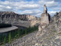
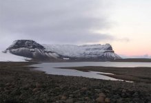
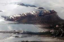
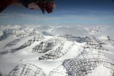
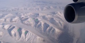
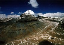
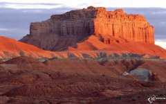
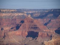
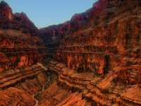
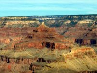
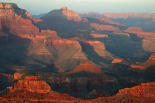
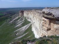
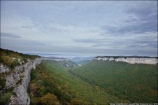
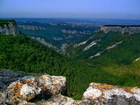
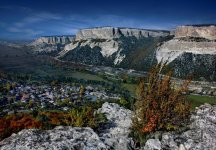
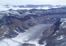
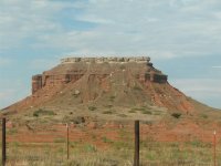
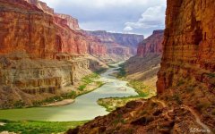
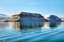
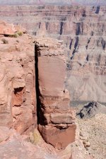
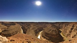
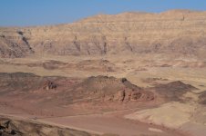
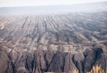
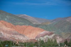
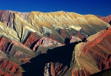
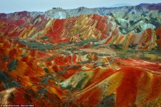
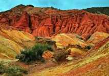
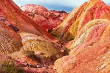
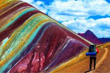
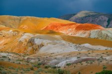
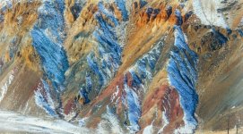
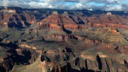
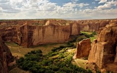
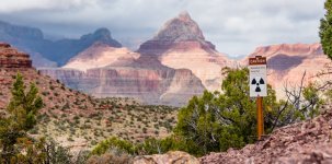
Now let us take a look at some of the prominent NATURAL objects. Supposedly they exist for tens of thousands of years. Some of those you might even be familiar with. Some are protected wonders of tourism. Below we have places like Grand Canyon, Antarctica, Greenland, Asian Mountains, Utah parks. These are just a few examples. You can easily find more. You might have seen some other ones yourself. Compare these to the quarries above.

1_1_Creux-du-Van_Swiss.jpg

1_1_Siberia.jpg 1_Kolsky_Peninsula_rus.jpg 2_Antarctica.jpg 4_Antarctica.jpg
5_Greenland.jpg 6_greenland.jpg 7_kailash_21000_feet_china.jpg 8_utah_state_park.jpg
9_grand_Canyon.jpg 10_grand_Canyon.jpg 11_grand_Canyon.jpg 12_grand_Canyon.jpg

More "Natural" formations: all over the world
old_query_1.jpg

old_query_1_1.jpg old_query_1_2.jpg old_query_2.jpg old_query_3.jpg old_query_4.jpg old_query_5.jpg old_query_6.jpg old_query_7.jpg old_query_8.jpg old_query_9.jpg old_query_10.jpg old_query_11.jpg old_query_12.jpg old_query_13.jpg old_query_14.jpg old_query_16.jpg old_query_17.jpg old_query_18.jpg old_query_19.jpg

Spoil Tips (artificial)
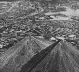
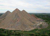
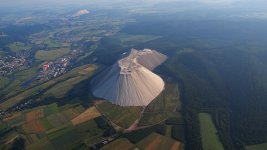
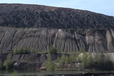
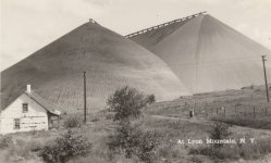
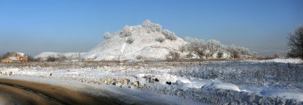
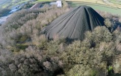
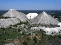
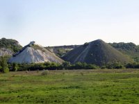
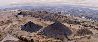
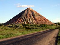
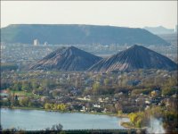
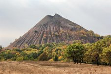
Once all the minerals, (and what not) are taken out, we end up with Spoil Tips. A spoil tip (also called a spoil bank, boney pile, gob pile, bing, batch, boney dump or pit heap) is a pile built of accumulated spoil – the overburden or other waste rock removed during coal and ore mining. And here is what they look like. Once again, these are not natural formations. This waste is a byproduct of mining. Some are known to burn on the inside. Please google-help yourself.

Lievin_France_pano2005-08.jpg

Abraumhalde.jpg Botayama_at_Iizuka_City_in_1950s.JPG budennovskiy.jpg Chumakovskaya.jpg donbus_spoil_tip.jpg Heringen_-_Monte_Kali.jpg KvarntorpRAÄ25.jpg NY_spoil_tip.jpg Panoramio_-_V&A_Dudush.jpg Poulton_spoil.jpg Russian_slavyansk_1.jpg Russian_slavyansk_2.jpg Russian_slavyansk_3.jpg spoil_dump.jpg spoil_tips_pyramids_Llanbradach.jpg Ukrain_7.jpg Ukrain_8.jpg Ukraine_Donetsk_Oblast_Spoil_tip_IMG_1848_1725.jpg

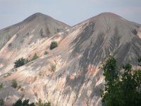
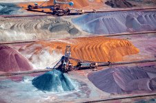
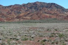
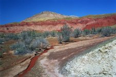
Some colorful iron, copper type Spoil dumps (artificial).
ore_dump_2.jpg

iron_ore_dump_1.jpg iron_ore_dump_2.jpg iron_ore_dump_3.jpg iron_ore_dump_4.jpg
ore_dump_1.jpg ore_dump_3.jpg ore_dump_4.jpg ore_dump_5.jpg

So-called "Natura" Formations #2
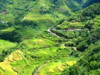
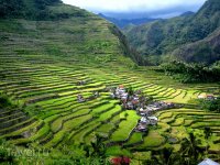
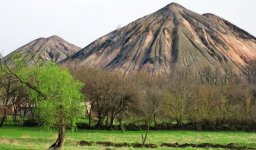
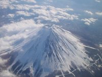
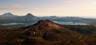
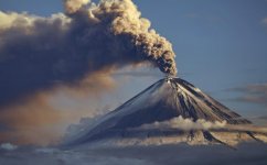
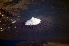
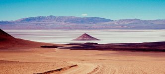
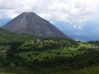
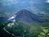
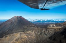
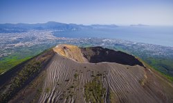
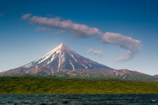
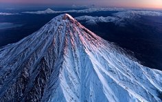
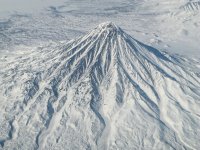
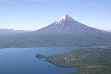
And below you can find various natural formations. In other words they were created by "mother nature". The below places are allover the world: China, Russia, Argentine, Japan, etc. We have Mount Fuji, Vesuvius, Etna, Salinas Lake, Santa Anna and a whole lot of others here. Additionally you can google Shikhan Mountains in Russia.

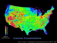
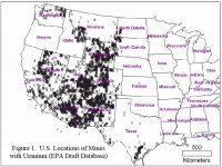
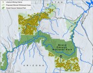
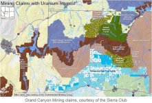
It might be a long shot, but judging by where our Uranium is... may be there is a reason the Grand Canyon looks the way it does. And may be the United States are not the first ones to mine it.


KD: I think this is too much to be just a coincidence. Looks to me like somebody might have done some major mining on our planet, and forgot to tell us about it. Then again, may be they did but it got "lost in translation" through all those burnt books and libraries. And may be that mountain next to you is just a gigantic spoil tip. Go figure now...
 
10+ years ago I read a bunch of books from Zacharia Sitchin. He said planet earth was colonized by alien miners and humans were engineered to be mining slaves. Maybe I should reread some of his work but interpret from a geocentric flat earth perspective. How would nibiru fit in? Could resets be cyclic based on a nibiru event outside dome firmament? Ewaranon mentioned the old world mega mining and giant trees. Ewaranon, what on earth happened. We have lots of gold and copper mines we explore on local hikes. Now I have a new set of eyes when looking at nature. Once I start seeing I can’t unsee. My wife thinks I am completely insane, oh well.
 
When i put this pic of the piri ries map,


I could not help but think that the volcanoes look like multi coloured tailing piles, and also the Islands look like they all have semi circular cuts from them.
That's a good observation.

There's more examples of images that show how natural-seeming landforms might have been artificially created at: The Grand Canyon in the USA - an ancient uranium quarry. You can see several different shapes that are conventionally perceived as natural being presented as artificial. Spoil heaps, cuts, access, drains etc.

I have thought that some local-scale English 17th/18th maps look, and are labelled, more like plans than like maps. Ie the labels have no personalisation to them. They have small woods named 'Fox Cover', houses named 'Three Cottages' and 'Grand House'. So they could be re-imagined as having been created by mapmakers who are newly arrived in a previously-populated location, or as design plans rather than maps.
 
Last edited:
1627144862039.jpg

Zacharia Sitchin's hypothesis was that the cylinder seal va-243 depicted a star surrounded by 11 planets and one of those is nibiru. Nibiru is alleged to follow a heleocentric 3600 year cycle where the anunnaki revisit earth. Each time nibiru gets close to earth the earth magnetic calamities happen like great flood, celestial collisions, pole shifts, etc. We know the earth is giant geocentric clock with cyclic events like solstices, days, years, and larger cycles too. Could nibiru be one of these larger predictable cycles? Is nibiru the black sun? Sitchin was wrong about heleocentrism. So the center of star on seal va-243 has to be something besides the sun; is it our dome and other domes; other scientists have suggested other interpretations seal va-243 analysis. Are those head garments on those being or I dare say horns? Horns below or headgear?

1627144976162.jpg
 
Zacharia Sitchin's hypothesis was that the cylinder seal va-243 depicted a star surrounded by 11 planets and one of those is nibiru. Nibiru is alleged to follow a heleocentric 3600 year cycle where the anunnaki revisit earth
Sitchin is an "in formation" progenitor, might take a gander at his training and education background?

Nibiru is an old Arabic name for Jupiter still in use today ... the winged planet reference would be at a time of Saturn-Jupiter conjunctions when Jupiter puts on Saturn's crown (rings) every ~20 years. variables change depending on which house it occurs in
Anunaki most likely refers to European/Russian peoples (likely Prussians or ??) that generally were and still are larger than peoples from Asia Minor and points east. Jupiter rules the age of Pisces (water) and in the realm here would be Europe/Russia - navy has highest rank and law is maritime in courts
so with Europe largely being the power center in recent centuries the story crafted by Sitchin a la Sumeria may be much more recent if many of the writings be taken as legitimate
 
One’s understanding tends to evolve once sources and discovery circumstances were critically examined.

Imho, the entire Sumerian civilization, including Sitchin’s findings, is one of the most coordinated, elaborate and sophisticated 19th - 21st centuries (end of 18th may be) forgeries. That’s a topic for a separate article though.
 
I'd say that they used it to carve stones for the medieval castles, bridges and forts.
Maybe all those stones are leftovers from buildings.
But that is probably too simple.
 
1627320815180.jpg

I keep running into the narrative that the preflood earth had a completely different environment than today with a much higher concentration of oxygen that led to life on the gigantic scale. Silicon life may have been the basis instead of carbon. Then somebody cut down all the giant trees and turned the earth into a quarry on an unimaginable scale. Was this the war of the old Gods?

Ewaranaon has a colorful video on this possible past. giant trees and quarry, this is part 11 of "what on earth happened" and entitled the bunblebee and the hexagon. The hexagon refers to the shape of the giant tree substructure.

A different website presents an identical variation of these giant trees becoming a massive quarry narrative. crystal tree scrapyard This link is probably from Russian Pavel Ulyanov. Pavel did some videos on youtube but I havent been able to find them, some have said they are very compelling. Others have theorized that if these giant ancient trees were made of silicon quartz crystal and their roots were interconnected across the planet forming an intelligent grid system and ley lines are what is left of their root systems. If you remember, where ley lines cross are where ancient sites were built ontop of. The worldwide rock quarry are what is left of their trunks and other forms of silicate life, possibly interconnected mushroom myceliums, like the mycoligist Paul Stamets presents in his books. What if humans used to tap into this matrix directly to communicate information like the Avatar movie? Was communicating with the living planet like walking in the garden of eden. A war of the Gods may have destroyed these crystal trees. At some point carbon based life started and that was destroyed by a great flood. Then post flood people repurposed what was left.
 
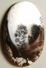
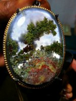
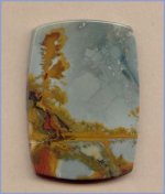
I am really interested in the idea of a silicon based earth. One of my own theories has to do with my avatar pic. These "landscape quartz" may be a clue. Did this silicone based earth somehow take pictures of itself? I have a TON of these saved that look like landscape paintings with giant trees.
 
Thanks. Great post and interesting comments. Curiously many of those waste heaps are pyramidal in shape. Perhaps the Giza pyramids are also waste from quarry heaps with regular block facades added at a later stage. I think it's possible that the French may have added those facades to the waste heaps at the end of the 18th century.
As a side note, I've been researching the Rosetta Stone "discovered" by accident while reinforning a fort in 1799 by French engineer Pierre Bouchard.
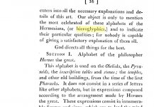
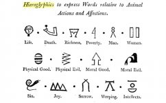
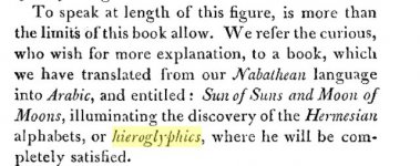
The importance of the Rosetta Stone is that it allegedly unlocked the meaning of Egyptian hieroglyphics. Before then the meaning of hieroglyphics had been lost since they were last used almost a milliennia before. Although Champollion and Jones had made "progress" in decyphering hieroglyphics by the 1820s it was clear that much was known about hieroglyphics before Champollion and Jones. I found the following author using Google Ngram. Notice his reference to the Knights Templars being familiar with hieroglyphics. My point is that whatever hieroglyphics had to tell us about the story of Egypt was conveniently erased pre-1799. Any thoughts?
 

I keep running into the narrative that the preflood earth had a completely different environment than today with a much higher concentration of oxygen that led to life on the gigantic scale. Silicon life may have been the basis instead of carbon. Then somebody cut down all the giant trees and turned the earth into a quarry on an unimaginable scale. Was this the war of the old Gods?

Ewaranaon has a colorful video on this possible past. giant trees and quarry, this is part 11 of "what on earth happened" and entitled the bunblebee and the hexagon. The hexagon refers to the shape of the giant tree substructure.

A different website presents an identical variation of these giant trees becoming a massive quarry narrative. crystal tree scrapyard This link is probably from Russian Pavel Ulyanov. Pavel did some videos on youtube but I havent been able to find them, some have said they are very compelling. Others have theorized that if these giant ancient trees were made of silicon quartz crystal and their roots were interconnected across the planet forming an intelligent grid system and ley lines are what is left of their root systems. If you remember, where ley lines cross are where ancient sites were built ontop of. The worldwide rock quarry are what is left of their trunks and other forms of silicate life, possibly interconnected mushroom myceliums, like the mycoligist Paul Stamets presents in his books. What if humans used to tap into this matrix directly to communicate information like the Avatar movie? Was communicating with the living planet like walking in the garden of eden. A war of the Gods may have destroyed these crystal trees. At some point carbon based life started and that was destroyed by a great flood. Then post flood people repurposed what was left.
I am on the fence about Stamets and the mycelium theory, much because it is used in the newer version of star trek and popularised by the movie avatar, however i could see the star forts and cities as hubs for the field systems as maybe nodes that could accumulate or harness/make use of it in some way.
 
I was looking at Google Earth.

Using GEarth I zoomed into Alert, Canada and noticed the deep, but not exact, East/West ridge scaring. Take a look.

Then as I was zooming out using GEarth I noticed scaring in the Atlantic Ocean, south of Greenland. This scaring looks eroded, but mostly parallel to the scaring near Alert, Canada.

Note: keep the North arrow consistent.

If you looked at GEarth pan over to South Africa you'll notice the ridges are parallel-like across the entire Atlantic Ocean. Keep panning over to the Indian, Ocean there the ridges are in a different pattern orientation but still look like intelligent pattern.

I don't know if Gearth is artist conception or actual satellite data or if the patterns could be due to linking of images.

Comparing the Atlantic Ocean patterns across to the Indian Ocean patterns they look like dredge marks. What do you think?

Google Earth

New Earth has a great video on this exact subject
 
If you looked at GEarth pan over to South Africa you'll notice the ridges are parallel-like across the entire Atlantic Ocean. Keep panning over to the Indian, Ocean there the ridges are in a different pattern orientation but still look like intelligent pattern.

I don't know if Gearth is artist conception or actual satellite data or if the patterns could be due to linking of images.

Comparing the Atlantic Ocean patterns across to the Indian Ocean patterns they look like dredge marks. What do you think?

Google Earth
You're right to flag Google Earth as possibly an artist's conception. As evidence goes it is a form of visual hearsay.

However, if for a while you treat it as genuine and use it to consider other possible models of our domain - and our domain's past - you may find other oddities in our past start to make more sense.

Here's some links along the same lines, sadly losing their images as they age, so visit them while you can:

Sibved's 'Ancient Offshore Flooded Quarries?'

The next two pages are not about flooded quarries but their remaining images may help us build new models of the past:

Sibved's 'Ancient and Modern Quarries Part 1'

Sibved's 'Ancient and Modern Quarries Part 2'

For readers familiar with England's Glastonbury Tor (and the 2012 London Olympics opening ceremony), these two images from Part 1 are worth remembering:

The other images in Sibved's 'Ancient and Modern Quarries Part 2' are well, well worth looking at.

For more of same:

Links to Sibved's Google-translated 'Quarried Earth' articles

Google-translated articles tagged 'Quarried Earth' (I wouldn't waste time with the video page in that list)

Links to Sibved's Google-translated 'Terraformed Earth' articles
 

Similar articles

Back
Top